When UAV and UGV Take the Field Together
- Dec 16, 2025
- 1 min read
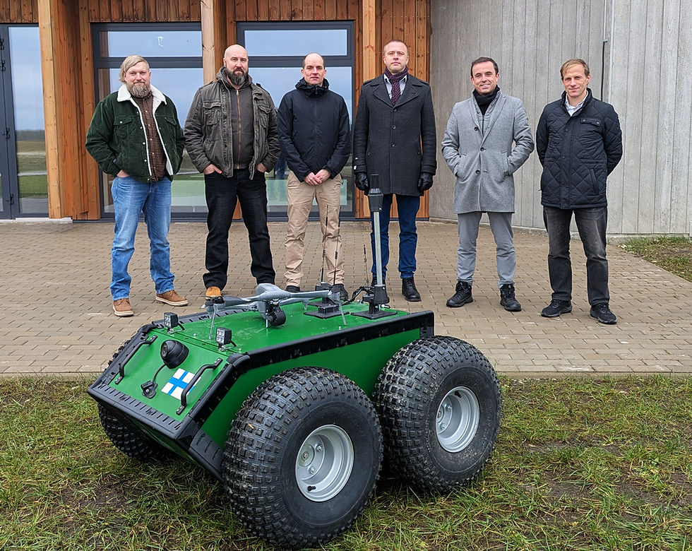
The BadB project wrapped up its second development quarter with a big step forward: a week-long joint sprint in Estonia that moved the work out of the lab and into real-world conditions. For the first time, the project’s aerial and ground platforms (UAV and a UGV), were tested side by side, offering a first real glimpse of how they can work together in practice.
These field tests were a key moment for the project. Both platforms gathered a large amount of data, including synchronised video from the air and the ground, as well as a detailed 3D model of the UGV. At the same time, GPS reference measurements were collected in rural test areas, providing an important baseline for checking and comparing the GNSS-free navigation approaches being developed.
On the software side, things moved forward just as quickly. Integration between partners has now started in earnest, shifting the focus from individual components to a shared system. Early bench tests of the first GNSS-free navigation models have also been completed, with encouraging initial results.
With a clear demonstration scenario now agreed, the project is well set up for the next phase of development. These milestones put BadB in a strong position as it looks ahead to the coming year – moving from early building blocks toward more complete, real-world demonstrations and a new, more ambitious phase of the project.