Seeing Through Clouds: How KappaZeta Powers the Badb Consortium
- BadB
- Nov 18, 2025
- 1 min read
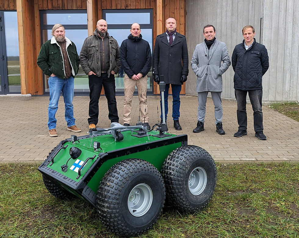
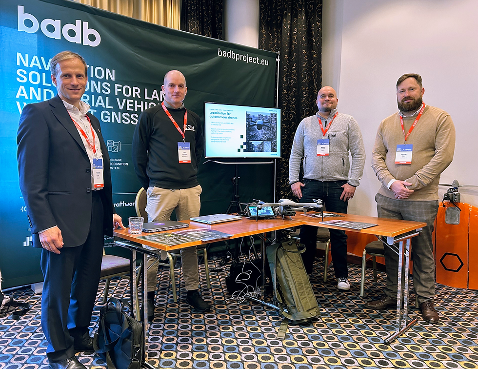
KappaZeta is proud to be the coordinator of the Badb consortium. We are thrilled to collaborate with #KrattWorks, #Rigr AI, #GIM Robotics, and #Solita. The consortium is solving the multifaceted problem of autonomous navigation of UAVs and UGVs in GNSS-free environments.
KappaZeta’s journey as a satellite remote sensing company started with supporting the EU’s Common Agricultural Policy (CAP) through field monitoring. Today, agriculture remains one of our key pillars, complemented by forest monitoring, carbon measurement, and innovative solutions for national security. One might argue that it’s an unusual combination. For KappaZeta – a strong advocate of satellite imagery – the picture is clear: all these domains need weatherproof situational awareness. And that’s precisely what our team delivers. We don’t let cloud cover affect us, as we use synthetic aperture radar (SAR) satellites to “see” through clouds. In addition, each optical image is processed with our cloud mask, which determines whether the pixels are suitable for informing our clients.
In the Badb project, KappaZeta’s technical mission is to generate and promptly deliver accurate satellite maps. Our input is essential for making correct navigation decisions by UAVs and UGVs. Maintaining accuracy requires continuously updated data. Therefore, we place special emphasis on selecting the appropriate satellite data sources and processing the imagery in the most efficient way. Our cross-domain, weather-resilient expertise and strong partnerships within the consortium provide a solid foundation for success in the Badb project. Stay tuned for upcoming updates – we’re just getting started.


